14 |
Oilfield Technology
May
2015
exploration companies with a challenge in the future. So the
question here is not just one of cost – are operators going
to be able to explore efficiently in these more challenging
arenas with the technology available now, and if new ways
be found to explore these remote areas in a cost-effective,
environmentally sensitive way.
So how can the industry gain, rather than suffer from this
downturn? Are there technologies available that produce the
required results at less cost, enabling operators to continue
to explore, produce and be innovative, yet at a cost low
enough to maintain the exploration programmes?
The straight answer is ‘Yes’, and in fact, these
technologies have been around for a while, and now is the
time to look at these as a way forward.
Still the most accurate and thorough way of looking at
the subsurface is to use seismic – and it is true to say that
in the field of seismic acquisition, there have been leaps
and bounds in recent years, with 3D now very common
and 4D becoming more popular, not to mention the myriad
of specialist acquisition techniques, configurations and
processing tools. Seismic acquisition, particularly 3D, is one
of the major costs associated with exploration, and is an
obvious target for cost cutting. However, cutting acquisition
costs seems illogical as doing so either stops a programme
dead, or increases the risk of failure. For oil companies, the
only way to keep exploration on the agenda is to find a way
to reduce costs at all stages of the lifecycle, while continuing
to reduce drilling risk.
The ‘Holy Grail’ of exploration would be the one piece of
technology that identifies hydrocarbon deposits, providing
an ‘x marks the spot’ on a map. This technology does not
exist, but the industry has the next best thing: combinations
of datasets providing different ‘views’ based on the different
properties of subsurface structures, providing the greatest
likelihood of hydrocarbon presence through imaging
subsurface structure. Exploration is rarely dependent on
a single source of information, so having good constraint
on data, in a timely and effective manner, is the key to
successful well planning. For this reason Full Tensor Gravity
Gradiometry has been adopted by dozens of established
exploration companies globally, used in conjunction with
other geophysical techniques available.
The use of this complementary technology reduces costs,
speeds up workflow and increases confidence by screening
promising targets in a block before taking on a more detailed,
expensive seismic acquisition programme.
FTG – full tensor gravity – is a technology recognised
as a critical step in all stages of the exploration workflow.
Essentially it is a non-seismic geophysical technique which
is quicker, easier, more adaptable, non-invasive and cheaper
to acquire, process and interpret than seismic, and in a
very short time can identify promising targets for further
investigation, at which stage a 2D or 3D seismic programme
can be designed over a smaller, more focussed area.
Sowhat isFTG?Andhowdoes itwork?
Gravity gradiometry is “the study and measurement of
variations in acceleration due to gravity”.
1
It is used to
measure the density variations of the subsurface; effectively
the rate of change of rock properties. From this information
it is possible to build a picture of subsurface anomalies
which can then be used to more accurately target oil, gas
and mineral deposits. Full tensor gradiometers measure the
rate of change of the gravity vector in all three perpendicular
directions giving rise to a gravity gradient tensor.
Gravitygradiometers
There are two types of gravity gradiometers currently in
operation, but crucially only one version (the Lockheed
Martin FTG System) directly measures all components
of gravity. This distinct technical advantage allows the
operator to benefit from quality control processes unique
to this instrument and ensures data quality and speed to
the processing and interpretation efforts; essentially only
measured components can be used in the patented and
proprietary processes used by Bell Geospace.
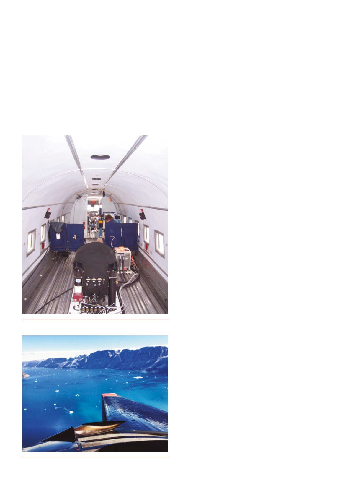
Figure 1.
FTGmounted inBasler Turbo 67.
Figure 2.
Basler Turbo 67 on survey inNorthWest Greenland.


